Collectibles -> Transportation -> Maps & Atlases -> Atlases
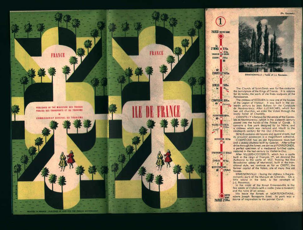
Map of France from circa 1950's or earlier

Map is 17.25 by 20.25 inches wide, has locations of many castles and cathedrals on map itself, and descriptions of historical placees on back side of map, published by french fovernment, Great Photos and Illustrations, Slight Wear, Overall Very Good Condition!
Item # : 78105
Box # : 4421
Shipping From: Pittsburgh, PA 15219
Shipping Policy: Buyer Pays Actual Shipping Cost / See item description
Payments Accepted via: Money Order/Cashiers Check / Personal Check / Visa/MasterCard / See Item Description / Discover
|


