 |
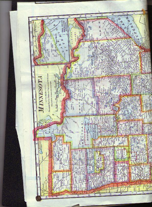
1 page 2 Minnesota maps, 1910
1st map is from the then latest Federal, State and transportation surveys. 2nd map shows changes made between the time when map was made & 10 years earlier (1900). Apparently taken from some magazine, as back is printed on. 22" x 15", map is cut, folded & torn.
Item # : 3638
Box # : 203
Shipping From: Pittsburgh, PA 15219
Shipping Policy: Buyer Pays Fixed Amount / See item description
Payments Accepted via: Money Order/Cashiers Check / Personal Check / Visa/MasterCard / See Item Description / Discover
|


